|
J.Shankar Technology Development Co., Ltd
|

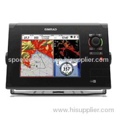
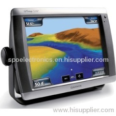
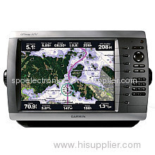
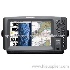
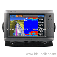
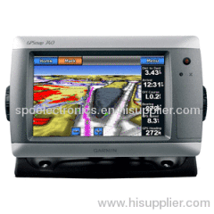
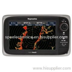
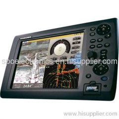
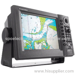
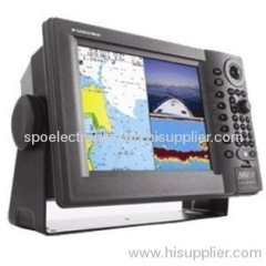
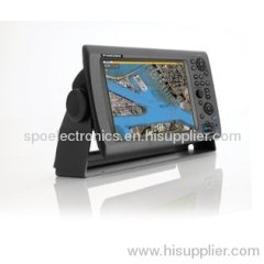
GPSMAP 5212 GPS Marine
| Price: | 500.0~600.0 USD |
| Payment Terms: | T/T,WU |
| Place of Origin: | , China (Mainland) |
|
|
|
| Add to My Favorites | |
| HiSupplier Escrow |
Product Detail
Includes All Manufacturers Supplied Accessories.
The 5212 connects easily to the high-speed Garmin Marine Network, so you can interface with additional MFDs and add remote sensors. Once connected, you can share information between the 5212 and other chartplotters on your boat. You can also add high-powered radar, sonar, and XM satellite weather and radio to your system.
Specifications:
Physical & Performance:
Unit dimensions, WxHxD: 13.0" x 9.5" x 4.7" (33.0 x 24.1 x 11.9 cm)
Display size, WxH: 9.3" x 7.1", 12.1" diagonal (23.6 x 18.0 cm, 30.7 cm diagonal)
Display resolution, WxH: 1024 x 768 pixels
Display type: Touchscreen XGA display
Weight: 9.5 lb (4.3 kg)
Battery: none
Battery life: none
Waterproof: yes (IPX7)
Antenna: external
NMEA output: NMEA 0183, NMEA 2000
RoHS version available: no
Related Search
Find more related products in following catalogs on Hisupplier.com
Company Info
J.Shankar Technology Development Co., Ltd [China (Mainland)]
Business Type:Manufacturer, Trading Company, Agent, Distributor/Wholesaler, Service, Association
Country/Region: China (Mainland)