|
J.Shankar Technology Development Co., Ltd
|

NavNet GP1920C/NT vx2
| Price: | 900.0~1000.0 USD |
| Payment Terms: | T/T,WU |
| Place of Origin: | , China (Mainland) |
|
|
|
| Add to My Favorites | |
| HiSupplier Escrow |
Product Detail
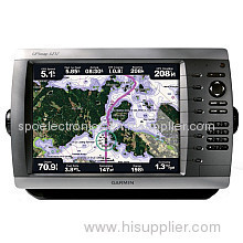
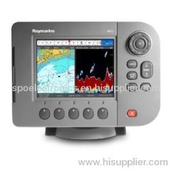
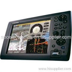
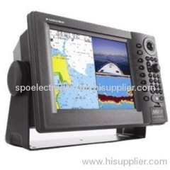
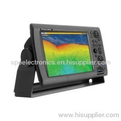
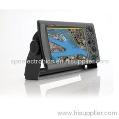
Furuno NavNet GP1920C/NT vx2 Chartplotter C-Map NT / Marine Navigation & Equipment
Sunlight Viewable VGA (480 x 640) Display
Front loading Mini-Chart Card port
Fully compatible with C-Map NT MAX charts
Simplified installation with new Network Wizard set-up
Cursor L/L Position Display **
On-Screen Display of Vessel Position, Heading, etc. *
Vessel Position Display in L/L or Loran-C TD's
North-Up, Course-Up or Automatic Course-Up display modes
Plotter, Nav Data, Steering Director or Highway display modes
Up to 8,000 points for ship's track and marks, 999 waypoints, 35 quick points, 1 MOB, 200 planned routes (max. 35 waypoints/route) and 1 quick route
Add Multiple Displays by Connecting to NavNet Interface
Add Network Sounder by Connecting to NavNet Interface
MOB Key Stroke stores Vessel position and time
Plotter Range Scales from 0.14 to 6,144 nautical miles
16 different mark symbols may be used
Waypoint entry by L/L position or TD position or target Range and Bearing
Plotter position interval may be set by Time or Distance Traveled
TLL position from specific Furuno Radars or Echo sounders
Full Functioning Infrared Remote Control
Related Search
Find more related products in following catalogs on Hisupplier.com
Company Info
J.Shankar Technology Development Co., Ltd [China (Mainland)]
Business Type:Manufacturer, Trading Company, Agent, Distributor/Wholesaler, Service, Association
Country/Region: China (Mainland)